
The PRISM Group gathers weather observations from a wide range of monitoring networks, applies sophisticated quality control measures and mapping methods, and develops spatial datasets to reveal short- and long-term weather patterns.
The resulting datasets incorporate a variety of modeling techniques and are available at multiple spatial/temporal resolutions, covering 1895 to the present (detailed information).
We offer these datasets to the public free of charge and provide mutiple options for bulk gridded data downloads, as well as the ability to fetch a data time series for a single grid cell across any number of days/months/years.
Key website sections:
Time Series Data — Download PRISM time series data grids covering daily (1981-present), monthly (1895-present), and annual (1895-present) temporal periods. Both 4km and 800m spatial resolutions available.
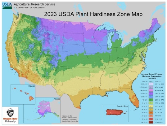
30-Year Normals — Download PRISM 30-year normals grids. At the end of each decade, average values for all variables are computed over the preceding 30 years. The current set of 30-year normals covers the period 1991-2020.
Data Explorer — Retrieve and download 4km and 800m time series data for point locations. Our bulk option allows up to 500 points in a single request.
Bulk Data Downloads — Access to web services and FTP resources for downloading PRISM data in bulk.
Anomalies — View "anomaly" map graphics that represent how observed values deviate from long-term conditions.
Data Directory — Web-browseable reflection of our FTP server that includes all PRISM time series and normals data, a map graphics archive, and prior versions of PRISM data.
Publications — Full listing of PRISM-related peer reviewed publications, with links to download journal articles.
| |
This website is supported by the USDA Risk Management Agency |